收稿日期:2020-03-04
基金项目:中国地震局地震应急青年重点任务(CEA_EDEM-202021);宁夏自然科学基金(2020AAC03443);宁夏地震科研基金课题(NX202017)和宁夏地震局科技创新团队(CX2019-1)共同资助。
作者简介:刘超(1991- ),男,工程师,主要从事城市活断层探测与地震应急现场工作。E-mail:liuchao0426@126.com.
基金项目:中国地震局地震应急青年重点任务(CEA_EDEM-202021);宁夏自然科学基金(2020AAC03443);宁夏地震科研基金课题(NX202017)和宁夏地震局科技创新团队(CX2019-1)共同资助。
作者简介:刘超(1991- ),男,工程师,主要从事城市活断层探测与地震应急现场工作。E-mail:liuchao0426@126.com.


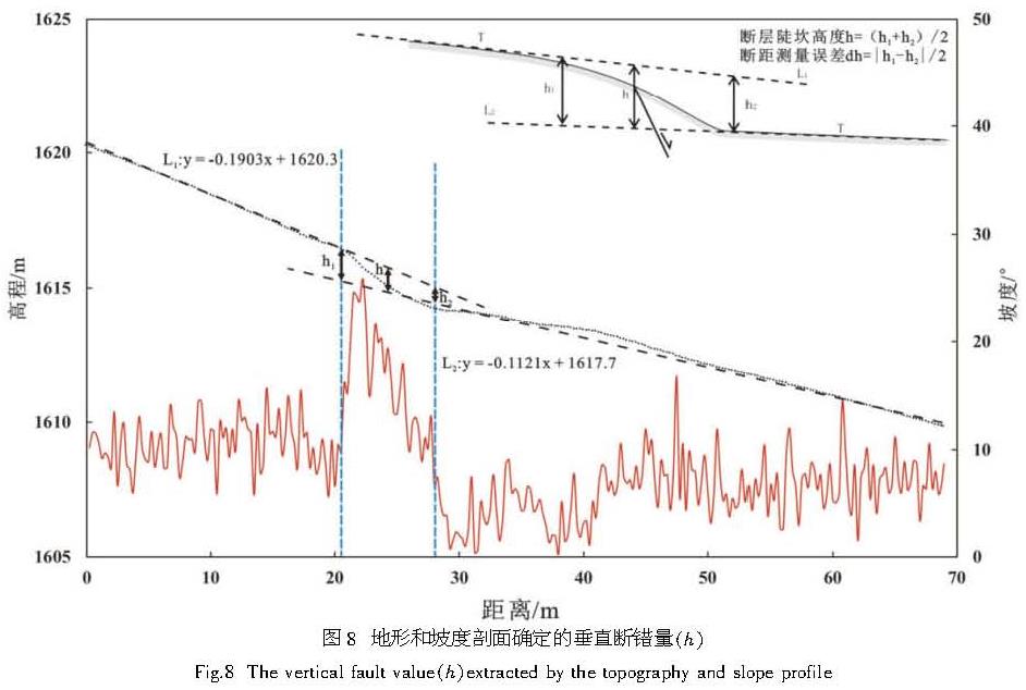
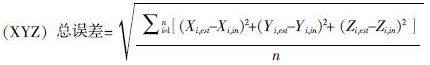 (1)
(1)